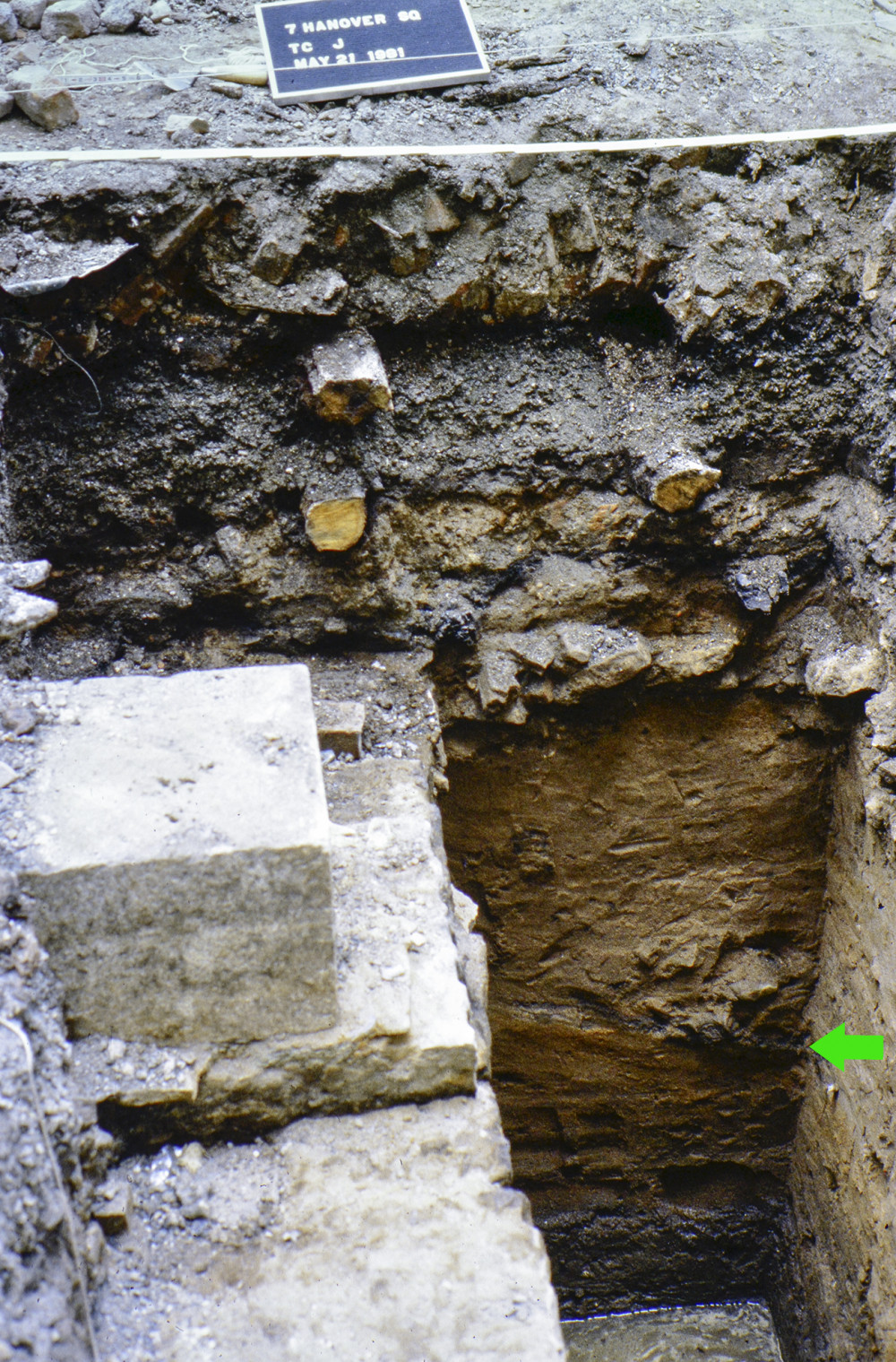
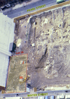
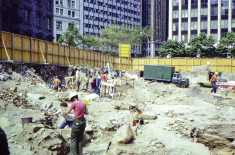
This context (Catalog# 341, Lot 28, Test Cut J and East Extension, Stratum 12, Level a) consists of artifacts from one of the multiple late 17th-century landfill deposits excavated in Lot 28. The late 17th-century landfill deposits began immediately below the silty sand stratum and underlie the rubble from the first construction episode. These deposits extended to a depth of approximately 90 inches below the test cut datum and were underlain by the gray river bottom silt. The landfill in TC J was described by the excavators as a mottled brown, orange and tan sand, with a lens of dark brown and black organic silt at approximately 53-60 inches. The deposits have a much lower density of all categories of cultural materials than the landfill samples taken from the test cuts on the Pearl Street side of the site. The ceramic samples from these landfill deposits are too small for mean ceramic date calculations to be significant. However, no ceramic types were present which could differentiate the dates of filling subsequent to the second set of water lot grants from those subsequent to the first set as indicated by the material recovered from the northern portion of the site. It should be noted that the description of the landfill stratigraphy in the test cuts from Lot 28 is in keeping with the stratigraphy of the landfill in the southern portion of the site as indicated by Backhoe Trench 6 (see pp. 335ff).
For more information about the landfill deposits in Lot 28, please see page 331 of the 7 Hanover Square site report.
-
Collection method
This context was excavated using trowels. All of the soil was dry screened using 1/4 inch mesh.
-
Soil description
Dark brown sand (organic)


