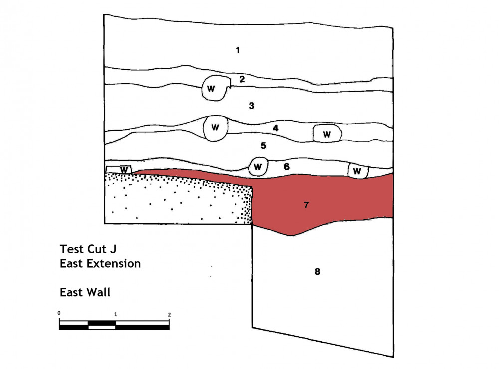
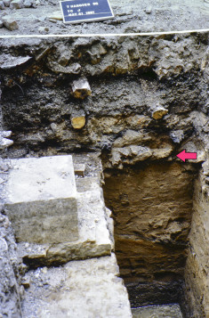
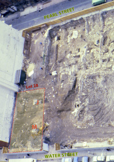
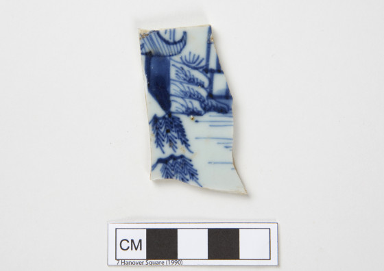
This deposit is located beneath floor #3 in Lot 28. Excavation beneath floor #3 in the western portion of TC J revealed a charcoal deposit beneath the burnt floor. In the eastern portion of the test cut, however, the charcoal of the burnt floor #3 gave way to brown and mottled brown silty sand. This material overlay another cut stone wall, running in a north-south direction, which began at a depth of approximately 31 to 34 inches. At 28 to 30 inches, a third cut stone wall was encountered in the western part of the test cut running in an east-west direction and continuous with the southern boundary of the test cut. Therefore, the original five by five foot TC J was enlarged in two directions. The square was extended two feet to the west in order to permit the excavation of the feature which was defined by the cut stone walls mentioned above and a fourth cut stone wall uncovered in the western extension which bounded the feature on the west side. This north-south wall also began at a depth of 28 to 30 inches. Since the original objective of this test cut was to sample the landfill deposits, and since this was made difficult by the presence of the feature, TC J was also extended five feet to the east. With the exception of the deposit in the feature, the material beneath floor #3 in TC J consisted of brown and brown/orange mottled silty sand containing rubble, some large rocks, and dense brick debris.
This context (Catalog #269: Lot 28, Test Cut J, Stratum 9, Level b) is one of multiple deposits located beneath floor #3 in Lot 28. Please see page 328 of the 7 Hanover site report for additional information.
-
Collection method
This context was excavated using trowels. All soil was dry screened using 1/4 inch mesh.
-
Soil description
Reddish-brown silty sand
-
Munsell
Not recorded

