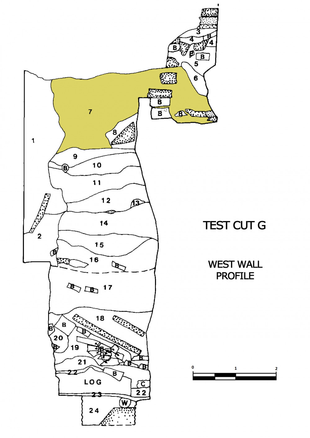
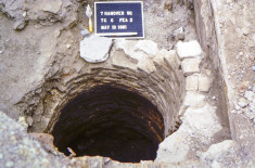
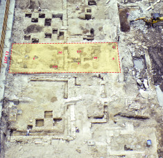
This context (Catalog #94, Lot 12, Test Cut G, Strat 7, Level b) consists of artifacts from a brown sandy silt, one of the deposits that was excavated from both within and above a circular feature located in the back yard of Lot 12, adjacent to the Lot 13 boundary wall. Backhoe testing in the backyard of Lot 12 was conducted in an undisturbed section and after the surface soil was removed, excavators found what appeared to be a curving brick wall. Test Cut G was placed to explore this feature further.
Although the soil above the curved brick wall was not disturbed, the top of the brick feature was disturbed. The southern portion of the feature had been removed by the construction of a brick rear wall erected for the 20th century structure that fronted Water Street. Although the top portion of the feature was constructed in brick, after 70 inches below the datum, the remaining part of the feature was constructed of cut stone which had been laid in a mortar, most of which had decayed. The base of the stone wall occurred at 97 inches below datum. Below the walls of the feature, logs and pieces of wood protruded from the south wall of the test cut into the excavated area and beneath the feature wall on the east and west sides. The structure was apparently supported on these logs, possibly to prevent it from settling into the underlying river bottom deposits. Although this feature did not seem to have a typical floor, a number of broken sandstone slabs and bricks were found beneath the slabs and may have been the feature’s floor, disturbed after the period of use.
A series of strata were uncovered within the feature with varying soil profiles and artifact densities. This specific deposit, located both within the feature and in the soil above it, was excavated to a depth of approximately 39 inches. The deposit consisted of a brown sandy silt (Stratum 7) and contained high artifact, building material and faunal densities but less brick than the soil primarily outside of the feature. The ceramic sherds excavated from this deposit and the underlying deposits within the feature area yielded a consistent mean ceramic date of 1795.3. However, 9.8% of these sherds were not manufactured before 1795, suggesting the actual date of deposition may have been slightly later than the mean ceramic dates. Due to changes in soil profiles and differences in mean ceramic dates, deposition inside of the feature may have occurred over a period of time rather than a single episode of dumping.
The brick and stone arched feature referenced above was likely a cistern, a fire well or a dry well, and the excavators believed that it was constructed after the new owner, Gulian Verplanck, built a new structure on the lot subsequent to the fire of 1778, most likely in the late 1780s. The ceramic evidence would indicate that the cistern was in use for a period of only 10 to 15 years, since deposition of debris in the unused cistern apparently began in the 1790s. For more information about the deposits associated with Lot 12, please read pages 155 to 191 of the 7 Hanover Square site report.
-
Collection method
Excavated this context using trowels and brushes. All of the soil was dry screened using 1/4 inch mesh.
-
Soil description
Light red/brown sand, brown sand and silt with brick chips


