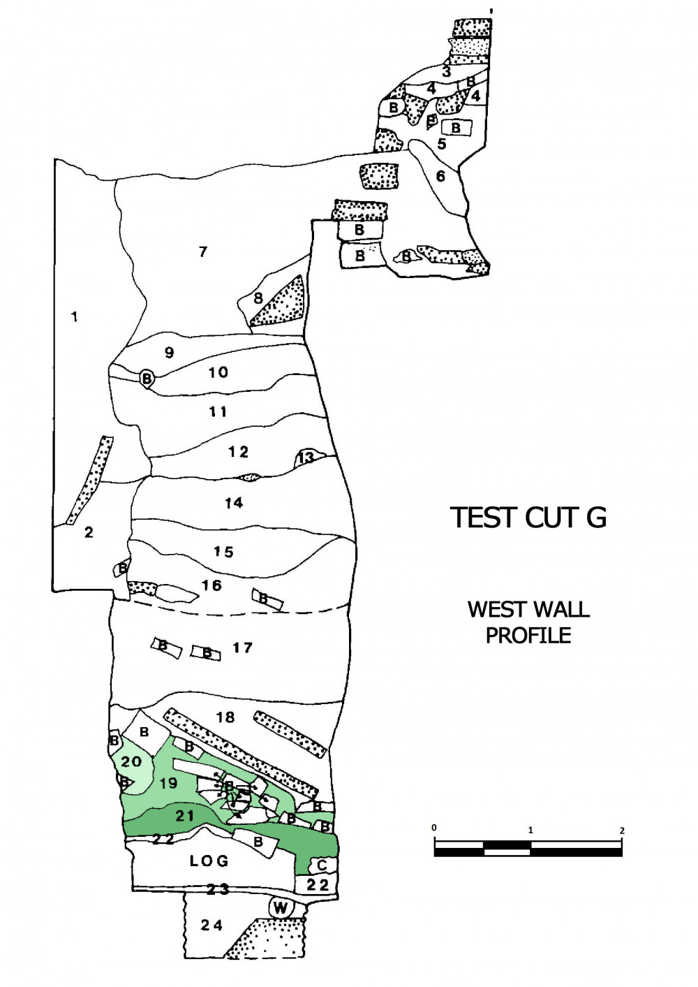
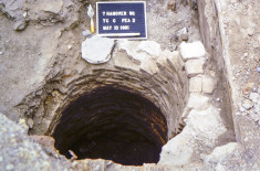
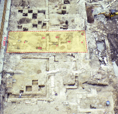
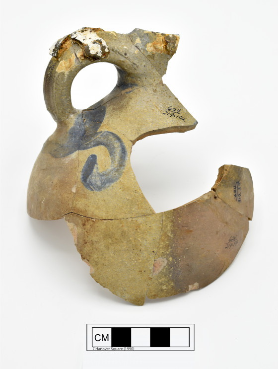
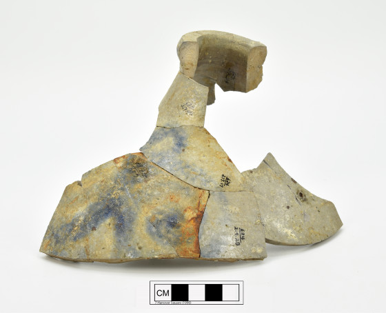
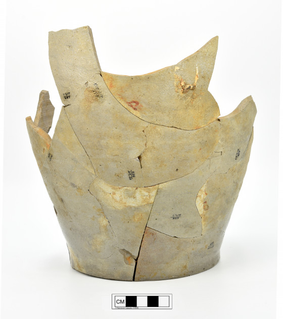
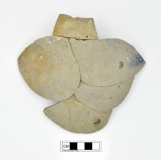
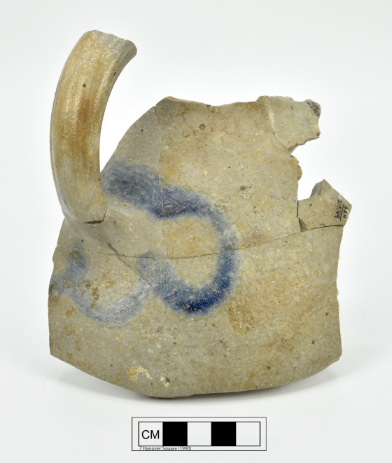
This context (Catalog #217, Lot 12, Test Cut G, Strat 19, Level b) consists of artifacts found below the walls and stone stabs at the base of a circular feature excavated in the back yard of Lot 12, adjacent to the Lot 13 boundary wall. Backhoe testing in the backyard of Lot 12 was conducted in an undisturbed section and after the surface soil was removed, excavators found what appeared to be a curving brick wall. Test Cut G was placed to explore this feature further.
Although the soil above the curved brick wall was not disturbed, the top of the brick feature was disturbed. The southern portion of the feature had been removed by the construction of a brick rear wall erected for the 20th century structure that fronted Water Street. Although the top portion of the feature was constructed in brick, after 70 inches below the datum, the remaining part of the feature was constructed of cut stone which had been laid in a mortar, most of which had decayed. The base of the stone wall occurred at 97 inches below datum. Below the walls of the feature, logs and pieces of wood protruded from the south wall of the test cut into the excavated area and beneath the feature wall on the east and west sides. The structure was apparently supported on these logs, possibly to prevent it from settling into the underlying river bottom deposits. Although this feature did not seem to have a typical floor, a number of broken sandstone slabs and bricks were found beneath the slabs and may have been the feature’s floor, disturbed after the period of use.
A series of strata were uncovered within the feature with varying soil profiles and artifact densities. At approximately 95 inches below datum, a deposit of dark brown silty sand with an extremely high density of stoneware sherds and bottle glass fragments was uncovered beneath the broken sandstone slabs referenced above. Much of the glass was melted and fused by high heat, and some of the stoneware also showed evidence of burning. This deposit also yielded a glass bottle ownership seal, embossed with the name “H. V(an) Vleck... 78.” In addition to the burned ceramics and glass, this deposit had a high amount of charcoal and other burned material.
A 1760 New-York Mercury Advertisement claims that Henry Van Vleck, a merchant, moved from his Wall Street residence into a house and store front on Pearl Street, or Dock Street, as it was known at the time. On August 3, 1778, a fire ravages two blocks of lower Manhatttan, including Henry Van Vleck’s house and most of the 7 Hanover Square project area. Although the date is unclear, sometime after the fire and at least by 1789, Van Vleck sells his property to Gulian Verplanck.
The brick and stone arched feature referenced above was likely a cistern, a fire well or a dry well, and the excavators believed that it was constructed after the new owner, Gulian Verplanck, built a new structure on the lot. The debris from the fire was probably still present on the lot after his purchase, and was used as fill to support the floor of the cistern. The ceramic evidence would indicate that the cistern was in use for a period of only 10 to 15 years, since deposition of debris in the unused cistern apparently began in the 1790s. For more information about the deposits associated with Lot 12, please read pages 155 to 191 of the 7 Hanover Square site report.
-
Collection method
Excavated this context using trowels. All of the soil was wet screened using 1/4 inch mesh.
-
Soil description
Brown sandy silt with sandstone slab fragments

